The Romans have been called the "first British road engineers" as a result of the numerous road construction projects they carried out following their invasion of Britain in 43 AD.
Amazingly, many of the trade and commerce routes they built around 2,000 years ago are still highways today. After the vast Roman army of Emperor Claudius landed on British shores, they began the rapid construction of new roads.
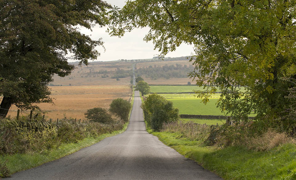
© Simon Annable / Shutterstock
Initially, the Roman road network linked the most important strategic military places in their new province, known as Britannia. It allowed troops and messengers to move quickly to other parts of the country from the ports of Dover and Richborough and created shipping routes.
Carts pulled by oxen were used to transport barrels of supplies along the Roman roads to the established settlements, such as Silchester in Hampshire and Colchester in Essex. They became towns and administration centres for the Roman leaders.
How did the Romans build ancient roads?
While the structure could vary, a common road design was a bank - known as an agger - to form the core. It was constructed from multiple layers of gravel or stone. When the ground was soft, the road was often built over piles of timber and layers of brushwood.
The core would then be covered by larger stones and the topmost surface was formed by adding another layer of smaller stones or gravel. Ditches were usually dug at either side of the road to improve drainage.
The roads were built as straight as possible to avoid the risks of enemy troops hiding round corners to ambush them.
Their width varied from the narrowest at around five metres to more than ten metres. The fact they were used for military transportation meant they needed to be both wide and solid to withstand the heavy traffic.
However, the standard of construction varied considerably. For example, around half-a-mile south of the town of Cataractonium - now Catterick in north Yorkshire - the main road north, known as Dere Street, was little more than a wide spread of gravel over a relatively shallow agger.
This was quite surprising, as it was to become one of the most famous Roman roads in Britain, leading to Hadrian’s Wall. Dere Street was built between 79 and 81 AD and the defence fortification of Britannia was built in 122 AD, during the reign of the Emperor Hadrian.
The route of Dere Street is still recognised today, running from York to Cramond, on the south bank of the River Forth, through Hadrian's Wall at Corbridge. It is no longer a road, with much of the route covered in grass, although the stretch between Lammermuir and Moorfoot Hills is quite well-preserved.
Growth of road network
The Romans in Britain were responsible for infrastructure development spreading from south to north across the country. As the empire's power extended across all of England, so did the road network.
New commercial routes were created and eventually, the transport system linked the ports of the south coast to Hadrian’s Wall and reached up to what is now Scotland.
The Roman Empire established a number of trade routes that enabled them to import goods such as Samian pottery, Rhineland glass, wine, olive oil and salted fish. The imports could then be delivered across Britain by road.
They also exported goods from Britain to the continent. These included large amounts of metal, such as silver, lead, tin and iron, cloth and wheat.
The Roman military government raised a lot of money through taxes. This paid for supplies for the Roman army of occupation. The economy was booming as a result.
The history of roads built by the Romans continued until their occupation of Britain ended in 410 AD.
The Stanegate was the main route spanning east to west, linking Carlisle and Corbridge in around 120 AD. A lot of the supplies required by the forts of Housesteads and Birdoswald, on Hadrian’s Wall, were shipped to Britain and arrived at the ports of South Shields and Carlisle.
Road maintenance problems
The Romans moved a lot of goods long distances by road, although they also moved supplies by boat too, not only along the coast, but through Britain's rivers network.
Old records written on a Roman tablet found at Vindolanda fort, near Hadrian’s Wall, complain of delays in receiving their supplies from Catterick. The poor state of the roads was blamed for delaying the delivery.
Prior to the arrival of the Romans, the Brits relied on tracks winding between the fields. These ancient routes had been established for centuries. Before the Romans constructed their roads network, people relied on the old dirt tracks.
In ancient Britain, people had used animals, such as donkeys and horses, to move loads around. Even after the network of main roads had been constructed, a lot of the goods being moved by the Romans started their journey on the tracks before reaching the new main roads.
The Roman surveyors didn't care who owned the land along the routes, as they were conquerors who could do as they pleased. However, keeping the roads in a state of good repair required a lot of work.
The economy was agriculture-based. Vast estates produced food for the army and the urban population. The heavy traffic on the main roads caused some deterioration, but the network didn't go into a major decline until after the Romans departed in the fifth century.
Evolution of transport
Britain's 2,000-mile Roman roads network was no longer one of the most efficient in the world when the occupation ended. Hundreds of years passed until any serious road building and maintenance was carried out again.
However, the evolution of transportation - with the advent of motor cars in the late 19th century - meant better roads were needed to accommodate the millions of vehicles that were built over the subsequent decades.
Carl Benz applied for a patent for his automobile "powered by a gas engine" on 29th January 1886. Historians generally regard the granting of patent number 37435 as being the birth of the motor car.
The first public outing of the three-wheeled Benz automobile, model number one, was reported in the newspapers in July 1886. This led to the foundation of one of the world's most famous luxury car brands, Mercedes-Benz, in 1926.
By this time, there were almost 400,000 cars on Britain's roads. By 1930, there were more than one million - and another million vehicles were being driven around by 1938. It became clear the highways needed improving when motor vehicles took over from horse-drawn transport.
The government started classifying Britain's roads in the 1920s, as prior to this, there was no record of which were the best routes for motor vehicles to take.
The Ministry of Transport introduced new road maps between 1922 and 1923, showing the new A-roads, from the A1 to the A99.
On 5th December 1958, the new Preston Bypass, Britain's first motorway, opened. Some 2,300 drivers drove along the eight-mile road for the first time. Today, it is part of the M6.
Which Roman roads are still traffic routes?
Some of the roads built by the Romans after invading Britain are still traffic routes today. Well known for their high quality engineering, their sound approach to navigation across the country lives on.
When you turn on your sat nav, there's a good chance you're following one of the routes created almost 2,000 years ago.
For example, in Roman Britain, Fosse Way linked Exeter - then called Isca Dumnoniorum - with Lincoln, or Lindum Colonia, in a relatively straight line. Today, large stretches of the ancient route still exist.
These include the A429 going through Gloucestershire towards Cirencester, the A46 between Lincoln and Leicester, the A37 between Somerset and Ilchester, the A358 near Axminster in Devon, the B4455 across Warwickshire and some non-motorway roads leading to Exeter.
Fosse Way had been constructed specifically to link south-west England with Lincoln, which had been declared a frontier soon after the invasion of 43 AD. The Roman army had paused to rest there before pushing north and west.
Watling Street was one of ancient Britain's first and most important roads. Built between 47 and 48 AD, it stretched north out of London towards Wales. The modern A5 follows the same route today and has been extended to the Holyhead port.
Watling Street still stretches south-east as well, in the shape of the A2, going from London to the English Channel at Dover.
Akeman Street connected Watling Street and Fosse Way in Roman times, linking the Cotswolds and St Albans. Today, the A41 follows many stretches of the Roman road between Bicester and Berkhamsted.
Icknield Street during the Roman occupation extended from Bourton on the Water in Gloucestershire to Templeborough in Yorkshire. Today, the midlands section makes up much of the A38 from Derby through Burton upon Trent to Lichfield.
Pye Road began at Venta Icenorum – now Caistor St Edmund, near Norwich – which was the capital of the warrior Queen Boudicca’s ancient British Iceni tribe. She led a failed uprising of the Brits against the Romans during 60 and 61 AD.
The conquering Romans built Pye Road to link Venta Icenorum to the then Roman capital of Colchester. They extended the road to their new capital city of London.
Today, parts of Pye Road make up the route of the A140 through Suffolk and Norfolk, the A118 through north-east London and some of Whitechapel Road towards the city centre.
Modern British road users may be surprised to learn they are regularly relying on Roman road surveyors, who paved the way for a practical network of highways across the UK, providing the foundations of our current transport infrastructure.